- Tree Inventory and Mapping
- Vegetation Association Mapping
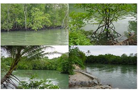
- Wetland and Drainage Mapping
- Biodiversity study to look at potentially occurring rare, threatened or endangered species
- Weather
- Land Cover
- Landscape and Visual
- Ecological risk by EcoRisk View. This model is an advanced ecological risk assessment program for conducting a comprehensive multi-pathway ecological risk assessment by simultaneously calculating risk values for multiple chemicals, from multiple sources, at multiple exposure locations.